From Sizzling Heat to Soaking Streets
The UK’s burst of summer-like heat has taken a dramatic turn as the Met Office issues yellow weather warnings for thunderstorms, hail, and flooding following Saturday’s 23C scorcher.
The stormy shift comes after the driest start to spring in 69 years, with April racking up 228.9 hours of sunshine, the sunniest since records began in 1910.
Yellow Thunderstorm Alert Issued
Forecasters warn that Sunday and Monday will bring heavy downpours, lightning strikes, and up to 40mm of rain in three hours, especially across:
The West Country, South Wales, and parts of the West Midlands are expected to be hardest hit.
“Thunderstorms will be hit and miss but could bring short, sharp downpours, hail and lightning,” said Met Office meteorologist Jonathan Vautrey.

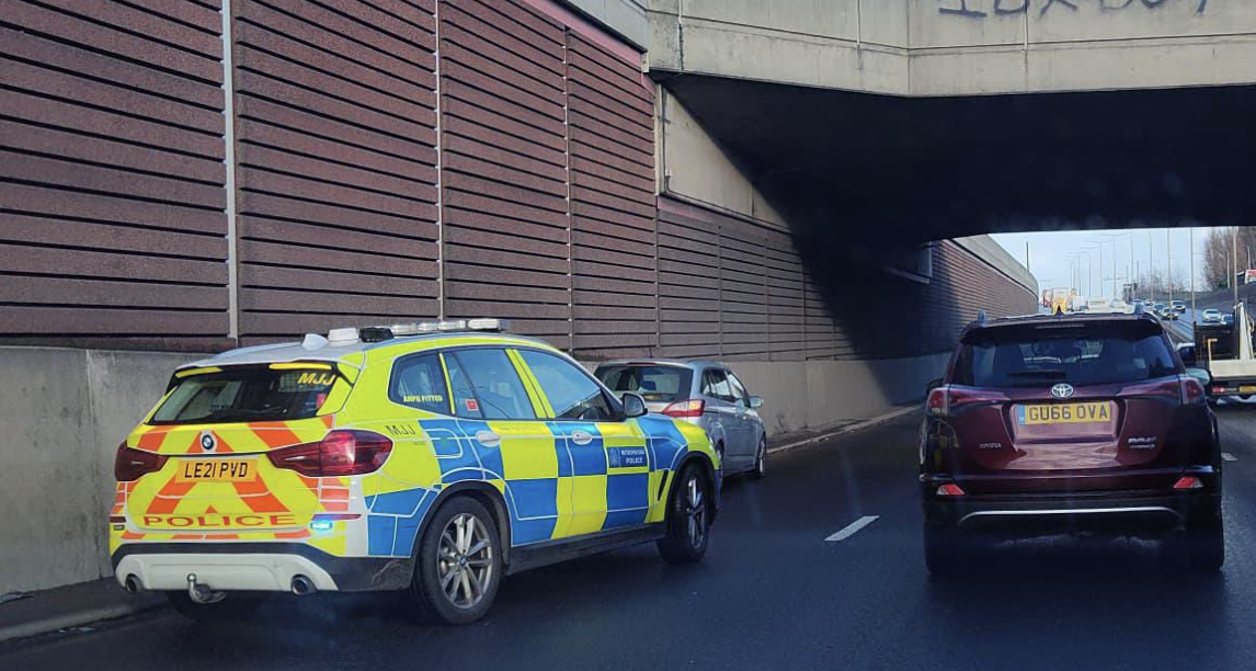
Drivers Urged to Stay Alert
Motorists are being told to drive with caution, as flash flooding and storm conditions could strike suddenly. “Storms could develop quickly and without much warning,” Vautrey said, stressing the danger of splash flooding on hard surfaces.
Temperatures Still Set to Climb
Despite the wet spell, temperatures are forecast to stay high, with parts of the UK seeing 25C to 26C — around 8C above the seasonal average.
A high-pressure system is expected to rebuild by Tuesday, bringing dry, sunny conditions and highs in the low to mid 20s across much of the country.
From Drought to Downpour
According to the Environment Agency, some farmers have already begun irrigating crops earlier than usual due to the exceptionally dry spring, especially in northern England.
What’s Next?
- Monday: Thunderstorms may continue in southern and western areas
- Tuesday onwards: Dry, sunny weather likely to return
- Stay informed: Follow the Met Office for the latest alerts and advice