Arctic conditions have descended upon the United Kingdom, plunging temperatures to as low as -10°C (14°F) and bringing heavy snowfall, threatening to disrupt daily life across the nation. With much of the country facing sub-zero temperatures, drivers have been warned of potential travel disruptions, while rural communities could find themselves isolated by snow and ice.
National Highways issued a severe weather alert for snow affecting the North West of England, advising road users to plan their journeys carefully to avoid being stranded. Although some areas experienced bright sunshine, London saw daytime highs of just 3°C (37°F), with a strong northerly wind making it feel even colder at -2°C (28°F).
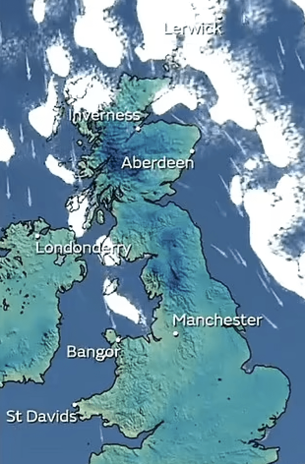
The coldest temperature recorded this morning was -10.1°C (13.8°F) at Cairngorm mountain in the Highlands, while Glasgow Airport, Powys, and Cumbria experienced -5°C (23°F) temperatures.
Snow warnings have been issued for several regions, including the Lake District, Northumberland, the Pennines, parts of the North West, and areas of Wales, spanning from today through Thursday. The Met Office meteorologist Liam Eslick noted that temperatures are approximately 5-6°C lower than usual for this time of year.
Northern Ireland faced a snow and ice warning from 3 am today until 9 am tomorrow, and another warning for ice persisted until 11 am today across parts of north-east Wales and north-west England, from Liverpool to the West Midlands. East Anglia, including Norwich, was also placed under a Met Office warning for snow and ice from 7 am today until midnight.
Liam Eslick cautioned travelers, especially in the North, to anticipate travel disruption, advising people to stick to main roads and avoid country lanes, which may not receive immediate gritting or road clearance in the coming days. He emphasized that the northerly wind is bringing in an Arctic airmass, resulting in cold, wintry showers.
Today, coastal areas of the North could experience wintry showers. Tomorrow, a more organized area of rain, sleet, and snow is predicted to move eastward, exacerbating the wintry conditions.
The Met Office issued a warning for snow and ice, driven by Arctic airflow, from Cumbria and Northumberland down the Pennines to the Peak District, extending across the North West into North Wales. Some regions may witness 2 to 5 cm (0.8 to 2 in) of snow within a few hours, with others potentially receiving 5 to 10 cm (2 to 4 in) of snow. In northern Scotland, up to 20 cm (8 in) of snowfall could occur.
Wednesday morning is anticipated to be the chilliest period, with temperatures in Pennine areas of Cumbria possibly plummeting to -11°C (12°F). This would mark England’s coldest temperature of the winter thus far, although it remains short of the UK record of -12.5°C (9.5°F) in Altnaharra, Sutherland, on December 3, 2023.
Southern regions may expect overnight lows of -4°C (25°F) to -5°C (27°F). The current lowest temperatures of the season for England, recorded at two North Yorkshire locations, Ravensworth and Redesdale Camp, and Sennybridge, Powys, in Wales, occurred on December 2, 2023, with temperatures of -10°C (14°F) and -8.9°C (16°F), respectively.
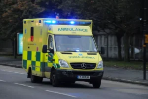
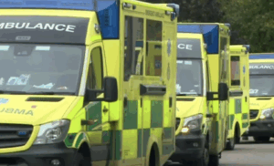
The inclement weather conditions pose risks of travel delays, power cuts, isolated rural communities, and hazardous conditions for pedestrians and motorists due to icy surfaces. The UK Health Security Agency has issued a cold-health alert until at least Thursday, urging people to check on vulnerable friends and neighbors. Additionally, drivers are encouraged to allow extra time, inspect their vehicles, and carry items like blankets to prepare for possible breakdowns.
Amy Fellows, National Network Manager at National Highways, advised travelers to be well-prepared for the freezing conditions and to plan their journeys carefully, as freezing conditions could bring multiple hazards, including snow and ice.
The nation is bracing itself for a period of severe winter weather, with warnings in place and a call for vigilance and preparedness to ensure the safety and well-being of all citizens.